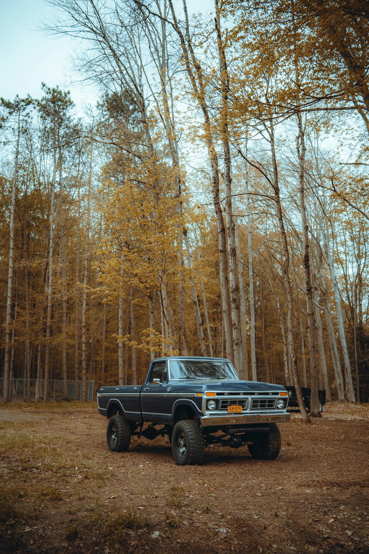
As someone who’s gotten thoroughly lost using Google Maps on forest roads that “definitely exist” according to satellite view, I’ve learned that standard navigation apps have no business in the backcountry. Probably should have led with this, but when cell service disappears and you’re navigating unfamiliar roads, having the right GPS app with proper offline maps can mean the difference between an adventure and a rescue call. Here’s what I’ve learned testing these apps over countless trips.
Why Your Regular Maps App Won’t Cut It
I tried to make Google Maps work for overlanding for way too long. It’s great for finding coffee shops, but backcountry navigation exposes its limitations fast:
- Tiny offline areas: Download regions are limited, and functionality drops when you’re offline
- Missing roads: Miles of perfectly driveable forest roads simply don’t appear
- No land ownership info: Nothing to tell you if you’re about to drive onto private property
- Questionable routing: Will happily route you onto seasonal roads that are closed or washed out
- Zero trail intelligence: No difficulty ratings, no condition reports, no community feedback
The Apps That Actually Work
Gaia GPS
This is what I run as my primary navigation. The learning curve is real, but once you figure out the interface, the flexibility is unmatched.
What I Like:
- Map layer obsession: Over 100 sources – topo, satellite, National Forest maps, community overlays, you name it
- True offline: Download entire regions with full functionality
- Track recording: Log routes with detailed stats for future reference
- Waypoint organization: Folders keep years of saved locations manageable
- Works everywhere: iOS, Android, and web sync together
What Frustrates Me:
- Steep learning curve: Too many options can overwhelm initially
- Subscription model: The good stuff requires Premium at $40/year
- Battery hungry: Noticeably harder on battery than some alternatives
Who It’s For:
Overlanders who want maximum control and don’t mind investing time to learn a powerful tool.
What You’ll Pay:
Free version is limited. Premium runs $39.99/year, Premium+ with more advanced features is $79.99/year.
onX Offroad
Started as a hunting app, which explains why the land ownership data is exceptional. The offroad-specific version has become a serious contender.
What I Like:
- Land boundary clarity: Best public/private land data available – know exactly where you can and can’t go
- Curated trails: Database with difficulty ratings helps find routes that match your rig and skills
- Solid offline: Works well without signal
- Clean interface: Easier to learn than Gaia
- Route building: Point-to-point planning is straightforward
What Frustrates Me:
- Fewer map options: Doesn’t match Gaia’s layer variety
- Higher cost: Gets expensive if you travel across multiple states
- Coverage gaps: Trail database is better in some regions than others
Who It’s For:
People who care deeply about staying on public land and want help discovering new trails.
What You’ll Pay:
$29.99/year for one state, $99.99/year for full US coverage.
Avenza Maps
Completely different philosophy here. Avenza lets you import geo-referenced PDF maps from any source – including the official USFS maps that land managers actually use.
What I Like:
- Official maps: Use the exact same Motor Vehicle Use Maps that Forest Service rangers reference
- Free content: Thousands of maps available in their store at no cost
- Simple concept: Your location dot on what’s essentially a paper map
- Rock solid: Nothing fancy means nothing to break
- Authoritative: When in doubt, the official agency map is the final word
What Frustrates Me:
- No routing: Shows where you are, not how to get somewhere
- Manual hunting: Finding and downloading maps takes effort
- Basic features: Feels limited compared to Gaia or onX
Who It’s For:
Overlanders who want official USFS maps and appreciate simple, reliable tools.
What You’ll Pay:
Free for 3 maps, Plus subscription at $29.99/year for unlimited.

Other Options Worth Knowing
FreeRoam
- What it does: Focused on finding dispersed camping and overlanding-specific points of interest
- Good for: Discovering camp spots, community-contributed locations
- Cost: Free basic version, $30/year for premium
Hema Maps
- What it does: Excellent coverage of Australia, expanding internationally
- Good for: International overlanding, especially down under
- Cost: Varies by region
Garmin Explore
- What it does: Ties into Garmin’s hardware ecosystem
- Good for: People already invested in Garmin devices
- Cost: Free with Garmin hardware

How They Stack Up
| Feature | Gaia GPS | onX Offroad | Avenza |
|---|---|---|---|
| Offline Maps | Excellent | Excellent | Excellent |
| Map Variety | Best | Good | Varies |
| Land Ownership | Good | Best | Limited |
| Trail Database | Good | Best | None |
| Ease of Use | Moderate | Easy | Easy |
| Annual Cost | $40-$80 | $30-$100 | Free-$30 |
My Recommendations
Best Overall: Gaia GPS Premium
For most overlanders who are willing to climb the learning curve, Gaia provides the best combination of features, map options, and reasonable pricing. The flexibility is worth the initial confusion.
Best for Finding New Routes: onX Offroad
If discovering trails and knowing exactly where public land starts and stops matters most to you, the higher price is justified.
Best on a Budget: Avenza + Official Maps
Download free USFS Motor Vehicle Use Maps into Avenza. You get authoritative, official maps at basically no cost.
Best Strategy: Run Two Apps
Here’s what I actually do: Gaia for primary navigation, Avenza with the official MVUM maps as backup. When I’m unsure whether a road is legal to drive, I cross-reference both. The redundancy has saved me more than once.

Tips That Apply to Any App
- Download everything at home: Never assume you can grab maps in the field – service disappears exactly when you need it
- Pack backup power: GPS navigation murders battery life
- Practice before you need it: Learn your app’s quirks in familiar territory, not when you’re lost
- Carry paper backup: Technology dies; a printed map doesn’t need charging
- Trust but verify: No app is perfect – if something looks wrong, stop and think before committing

That’s what makes choosing an app so personal – it needs to fit your brain. Pick one, commit to learning it, and build real skill before you’re in a situation where it matters. Your adventures will be safer and more enjoyable when you trust your navigation instead of wondering if the app knows where it’s going.
Stay in the loop
Get the latest wildlife research and conservation news delivered to your inbox.