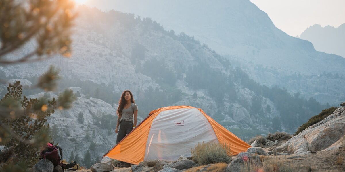
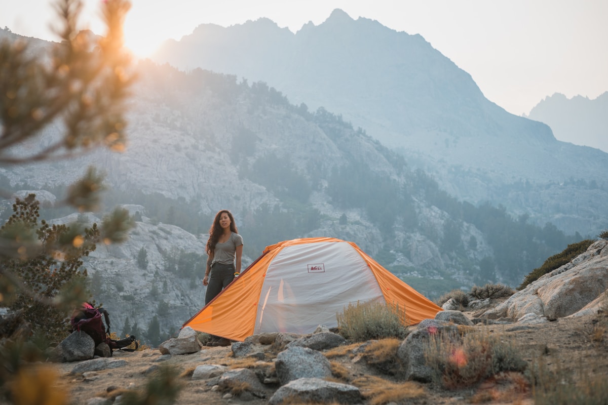
Trail navigation skills prevent hikers from becoming lost and enable confident exploration of unfamiliar terrain. While GPS devices and smartphone apps provide convenient navigation, understanding traditional map and compass techniques ensures you can find your way even when technology fails.
Topographic Map Fundamentals
Topographic maps represent three-dimensional terrain on a flat surface using contour lines. Each contour line connects points of equal elevation. Closely spaced lines indicate steep terrain while widely spaced lines show gradual slopes. Learning to visualize terrain from contour patterns transforms abstract maps into mental models of actual landscapes.
Map scales determine how much ground each inch of paper represents. Common hiking map scales include 1:24,000 where one inch equals two thousand feet. Understanding scale helps estimate distances and plan realistic daily mileage based on terrain difficulty rather than straight-line measurements.
Compass Navigation
A baseplate compass combined with a topographic map provides reliable navigation in any conditions. The compass needle always points to magnetic north, which differs from true north shown on maps. Declination adjustment accounts for this difference and varies by geographic location.
Taking a bearing involves orienting the compass to your desired direction of travel and following that heading. Back bearings help confirm your position by identifying landmarks and determining their direction relative to your location. Regular position checks prevent small navigation errors from compounding into significant course deviations.
GPS and Digital Tools
Dedicated GPS devices offer reliable navigation with long battery life and rugged construction. Handheld GPS units preload topographic maps and track your progress along trails. Modern devices integrate with satellite messaging for emergency communication in areas without cell service.
Smartphone apps like Gaia GPS, AllTrails, and CalTopo provide excellent navigation when properly prepared. Download maps for offline use before entering areas without cell coverage. Carry backup battery packs and protect phones from cold temperatures that drain batteries rapidly. Consider smartphones as primary navigation tools only on well-marked trails with reliable bailout options.
Natural Navigation Cues
Observational skills supplement technological navigation tools. Sun position indicates general direction throughout the day. Moss growth patterns, tree ring spacing, and snow melt patterns offer clues about orientation, though these natural signs prove less reliable than popular myths suggest.
Terrain association involves matching visible landmarks to map features. Distinctive peaks, stream crossings, and trail junctions confirm your position when identified on the map. Regular terrain association checks catch navigation errors early when course corrections require minimal extra hiking.
Navigation Planning
Pre-trip planning makes trail navigation significantly easier. Study maps at home before hitting the trail. Identify key landmarks, decision points, and emergency bailout routes. Note approximate distances between junctions and estimate hiking times based on terrain difficulty.
Carrying physical map copies provides backup when electronics fail. Waterproof map cases protect paper from rain and sweat. Marking waypoints and tracking daily progress helps maintain awareness of your position throughout multi-day trips.
When You Are Lost
Getting temporarily disoriented differs from being genuinely lost. Stop moving immediately when uncertain of your location. Panicked wandering makes situations worse. Sit down, drink water, eat a snack, and think calmly about your last known position.
Backtracking to a known location often provides the safest solution. If you cannot determine your position, staying in place and signaling for help may be wiser than continued travel in unknown directions. The emergency whistle in your pack serves exactly this purpose.


Stay in the loop
Get the latest trail owl updates delivered to your inbox.